Description
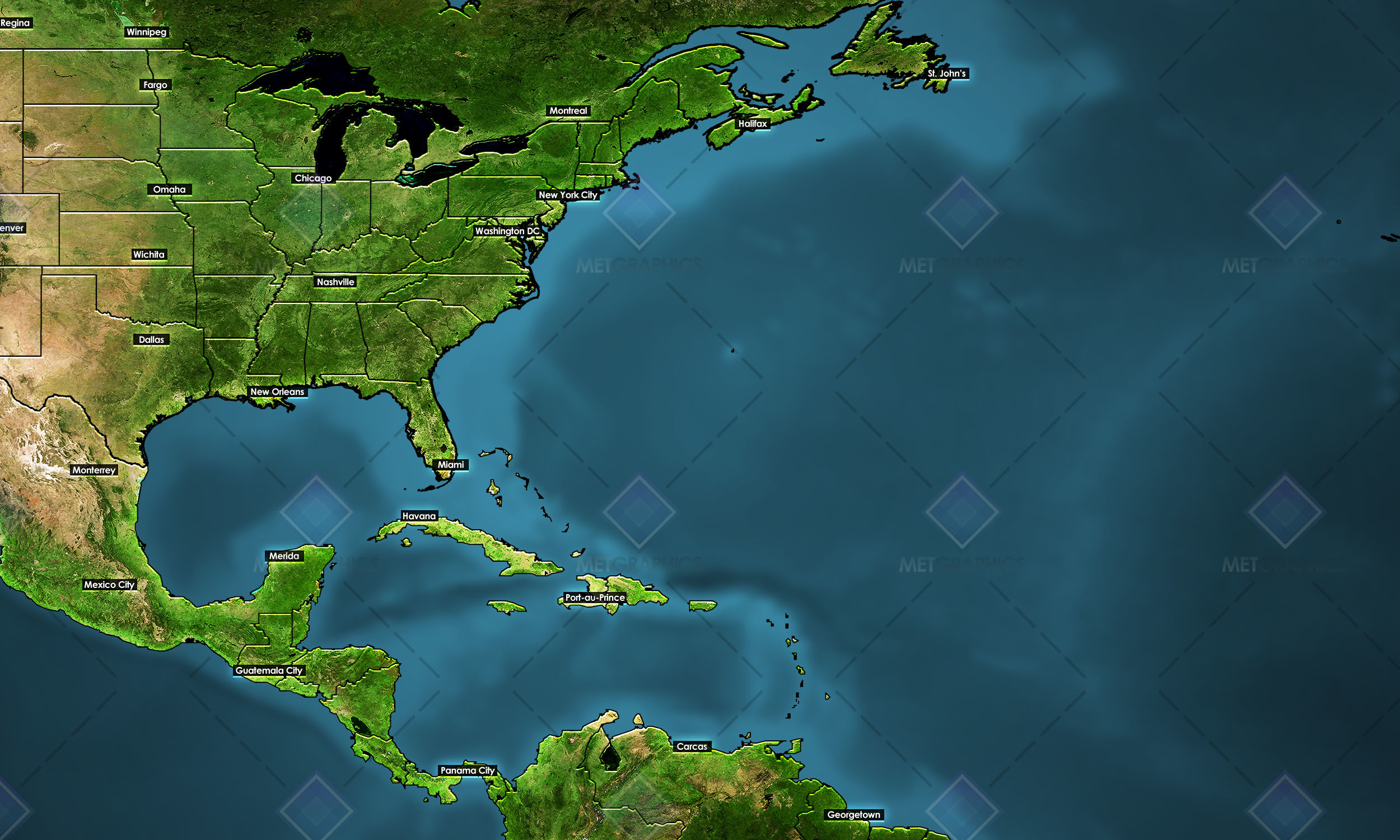
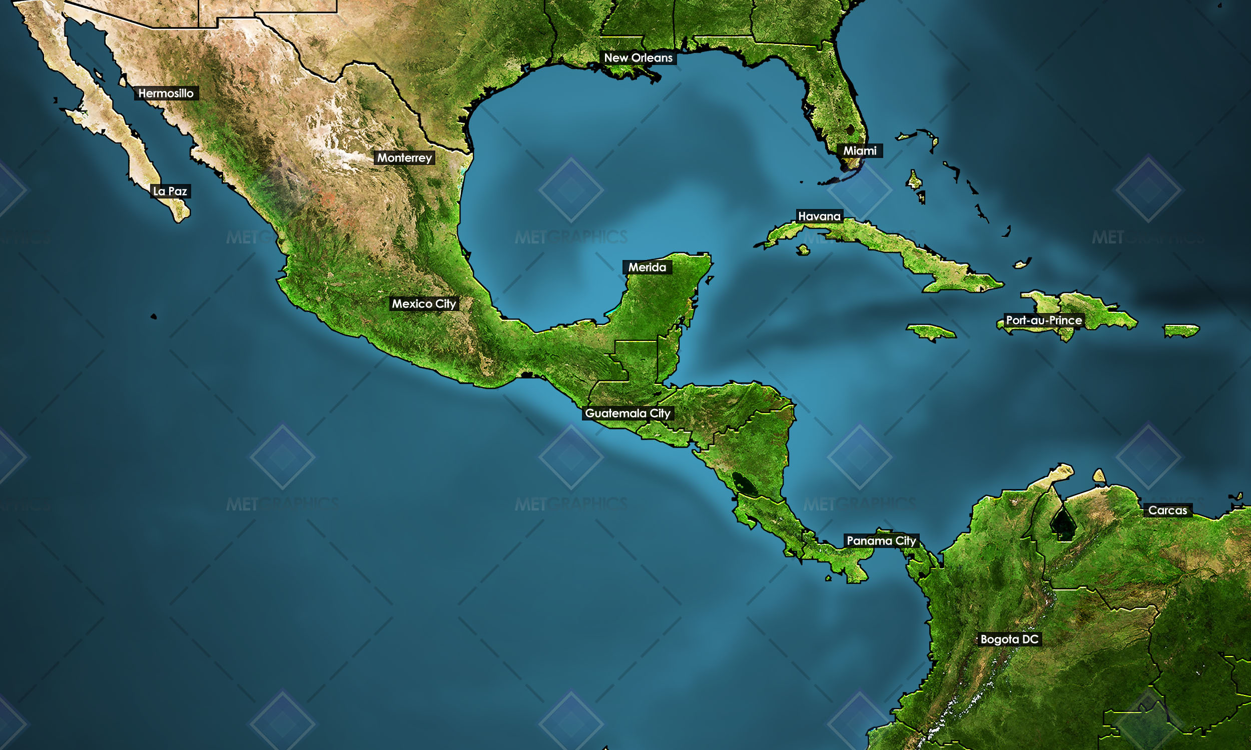
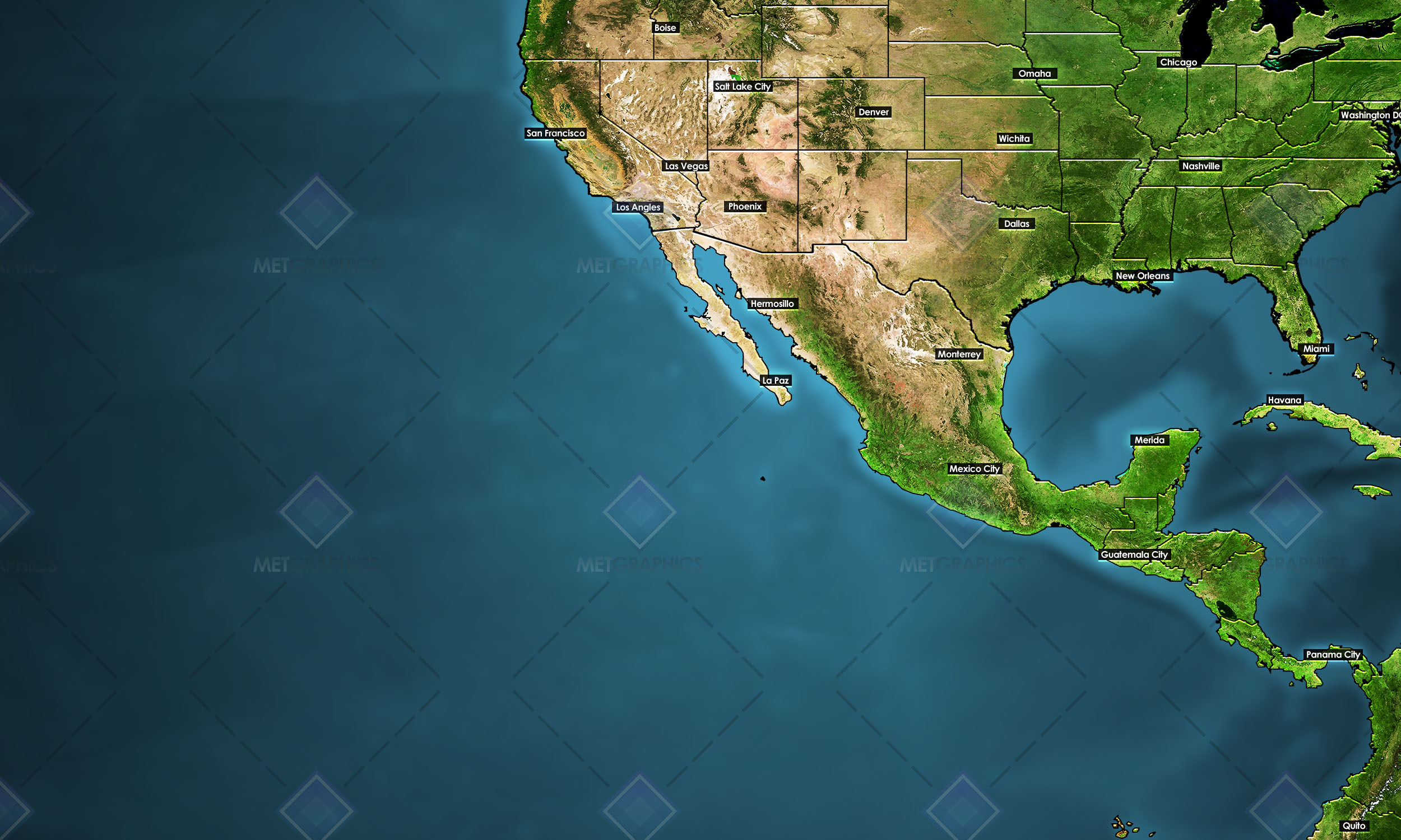
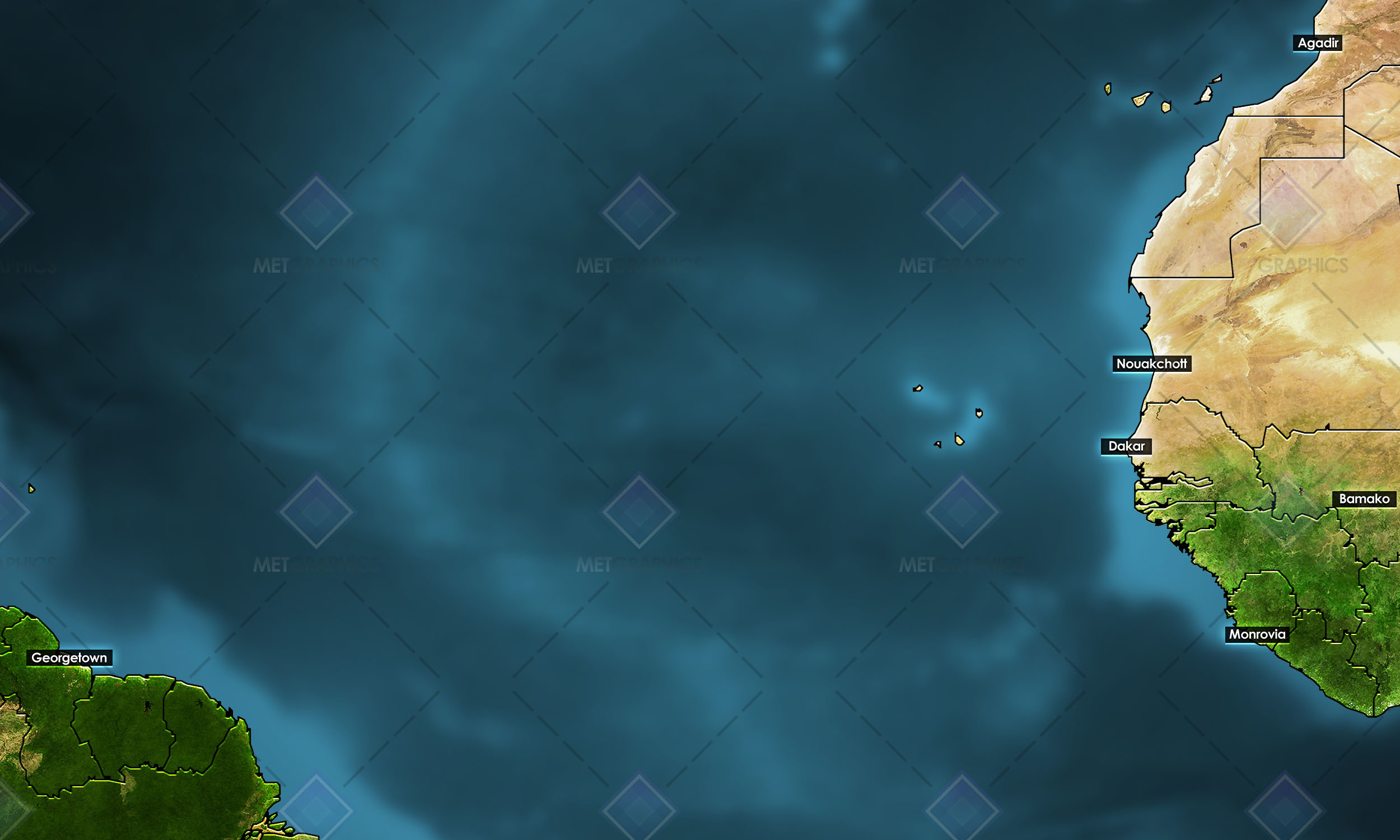
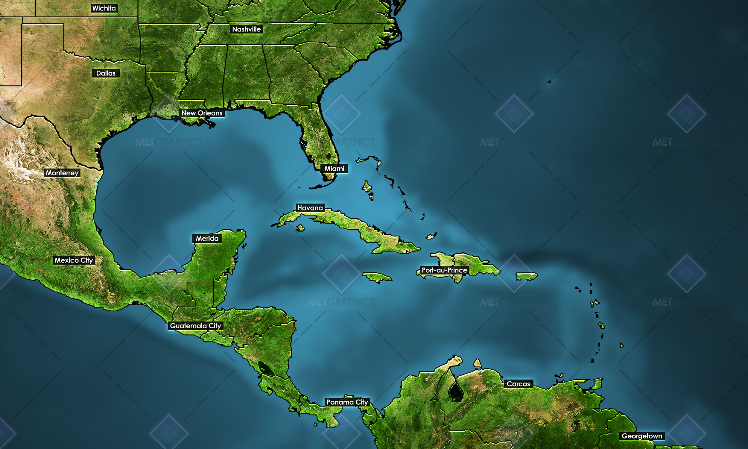
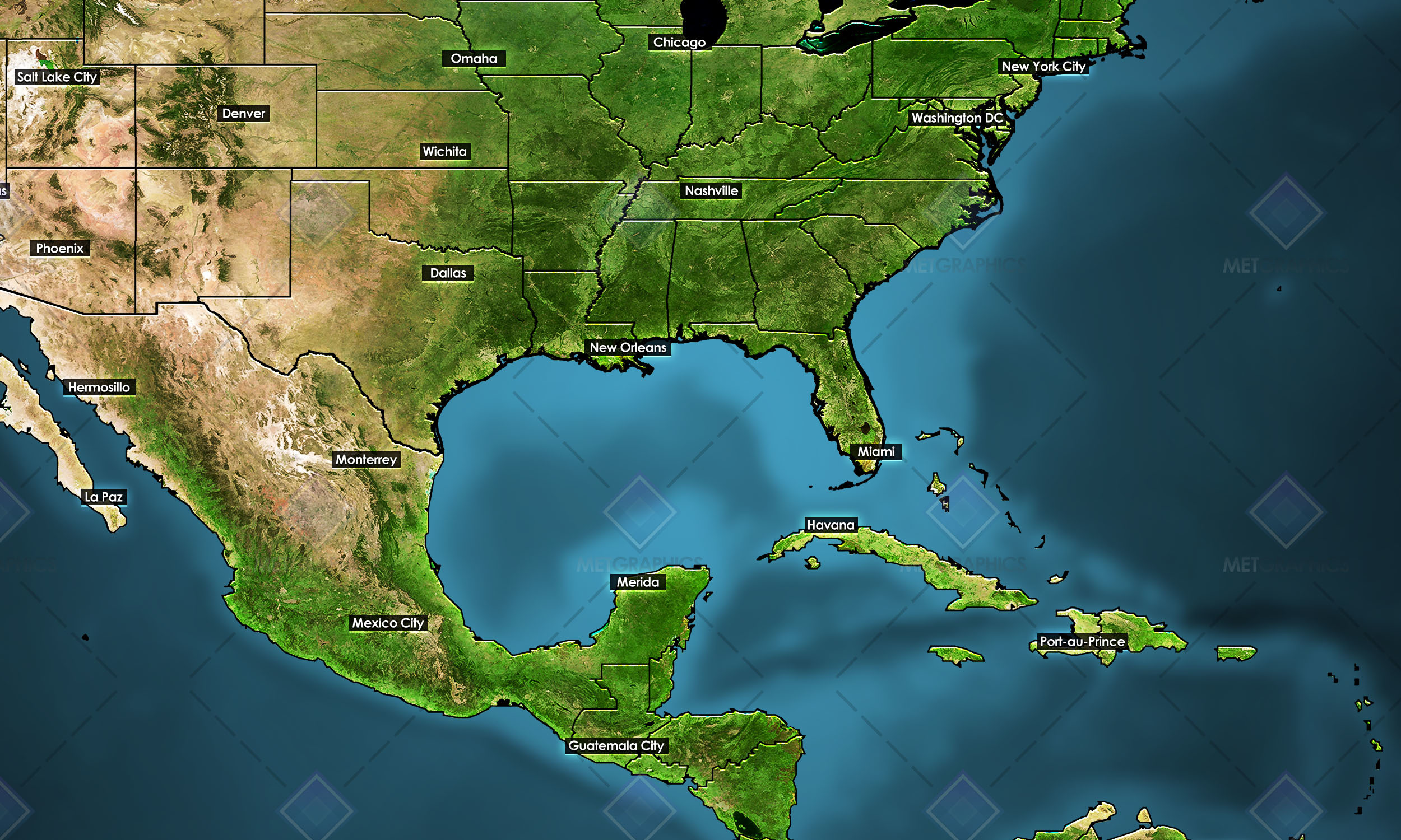
Sick of using random old maps pulled from the depths of the internet? Cut the tape and upgrade to layered maps of tropical regions of the Atlantic and eastern Pacific for your tropical weather forecasts. This package of tropical regions includes 8 maps spanning different views of the Atlantic and Pacific. These maps are built in near 2k resolution at 2500×1500 pixels.Each map includes .PNG layers you can open and layer in essentially any editing program, including PowerPoint, GIMP, Photoshop, Paint.net, etc., as well as another folder you can download which includes fully layered maps in .JPEG form. Also included is a .PSD for each map, all of which fully layered and editable.Includes the following map regions:AtlanticAtlantic – Gulf of Mexico centeredCaribbean centered view of the AtlanticEast Atlantic + West AfricaEast PacificEast-Central PacificGulf of MexicoWest Atlantic + E PacificFull content list:40 PNGs (map layers such as cities, boundaries, basemap, etc.), allows you to layer maps in a program of your choice8 PSDs (editable Photoshop documents)





Reviews
There are no reviews yet.